Hama – al-Nuri Mosque حماة – جامع النوري
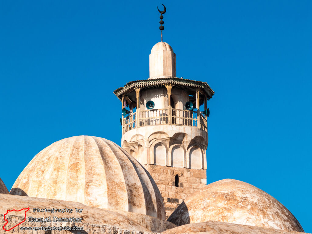
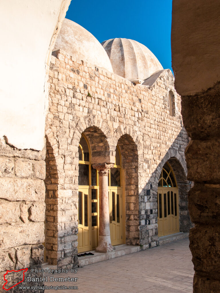
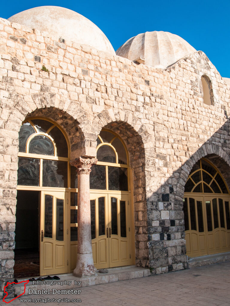
al-Nuri Mosque (جامع النوري) was constructed in 1163 during the reign of Nur al-Din Mahmoud Zenki (نور الدين محمود زنكي). Acknowledging the important role that Hama (حماة) played in establishing his rule over both Aleppo (حلب) and Damascus (دمشق), Nur al-Din (نور الدين) endowed the city this mosque. He also had several monuments damaged in a 1157 earthquake rebuilt. The mosque was expanded during the rule of Abu al-Feda (أبو الفداء) in the early Mamluk period. It suffered major damage during the 1982 conflict, but was subsequently restored.
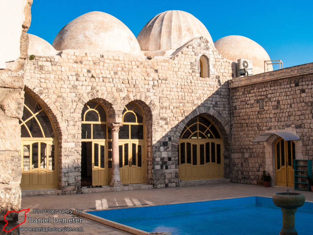
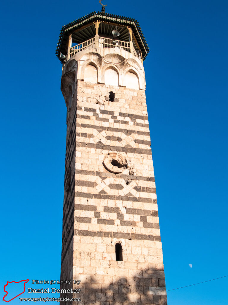
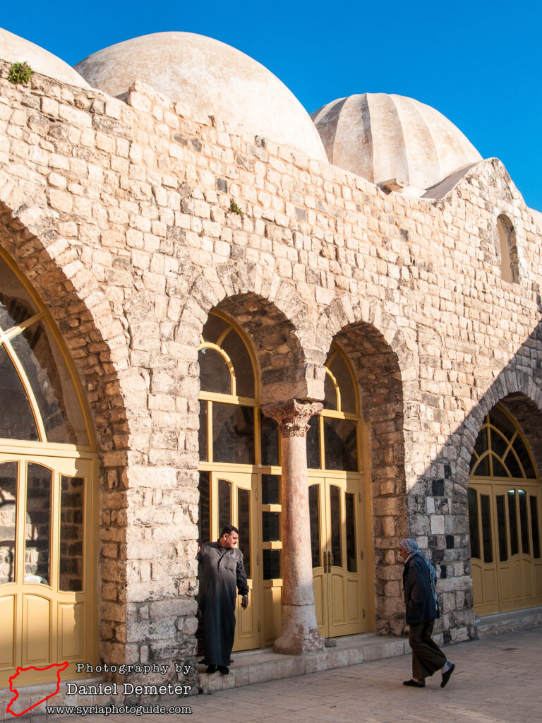
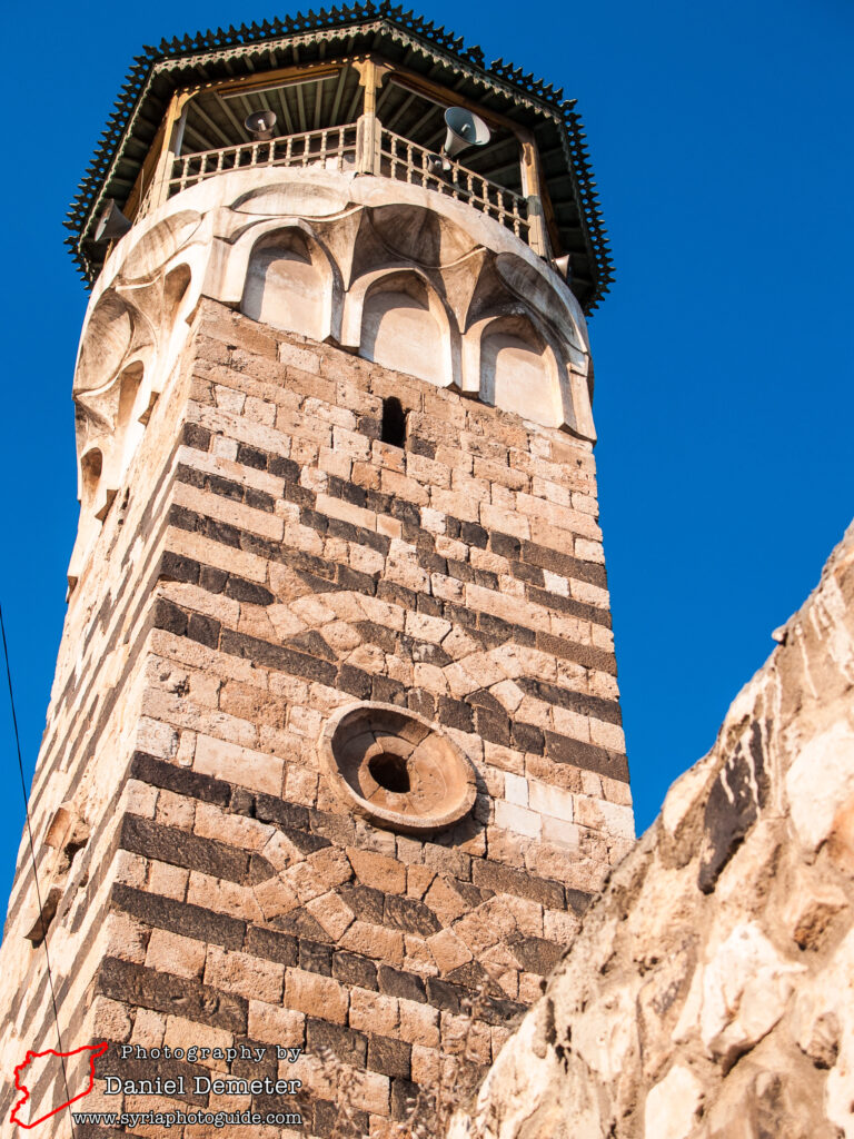
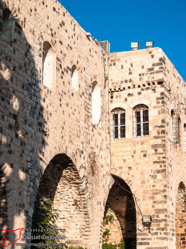
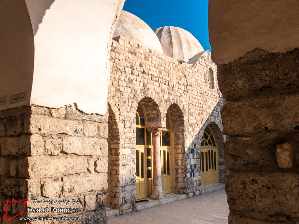
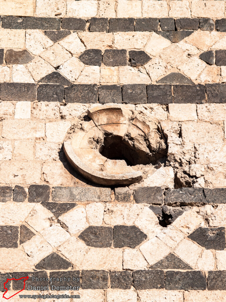
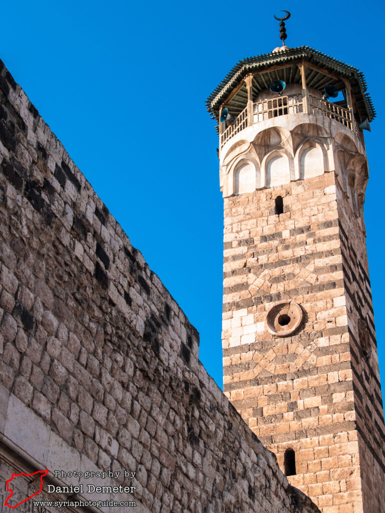
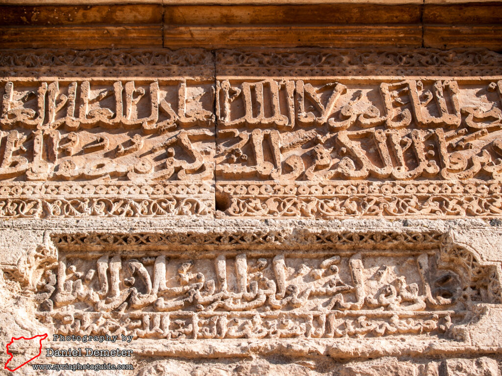
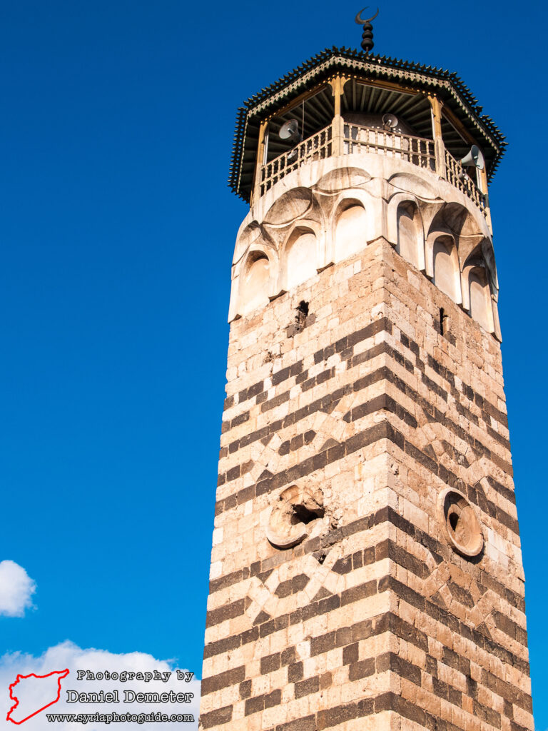
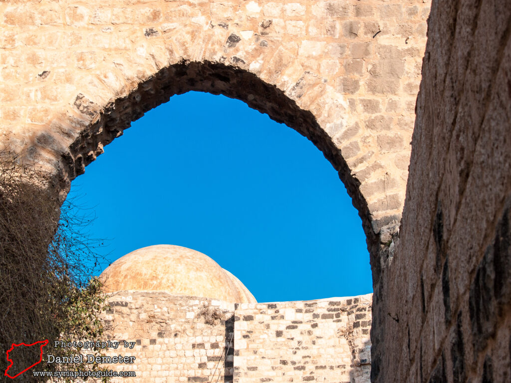
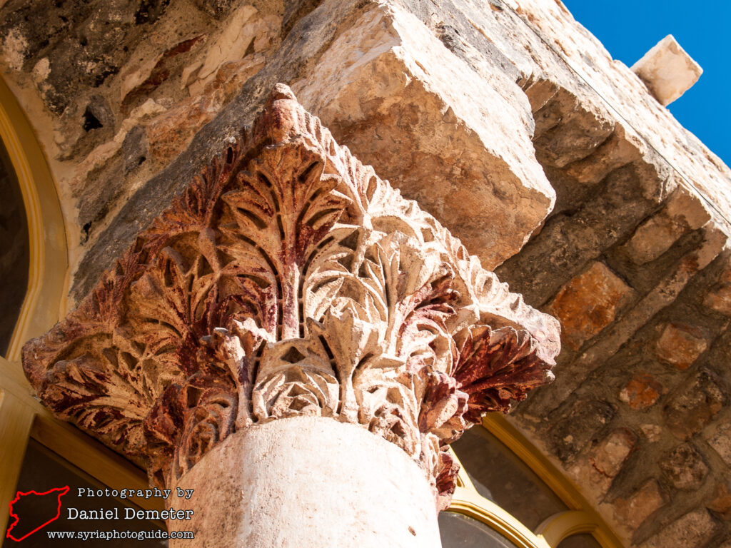
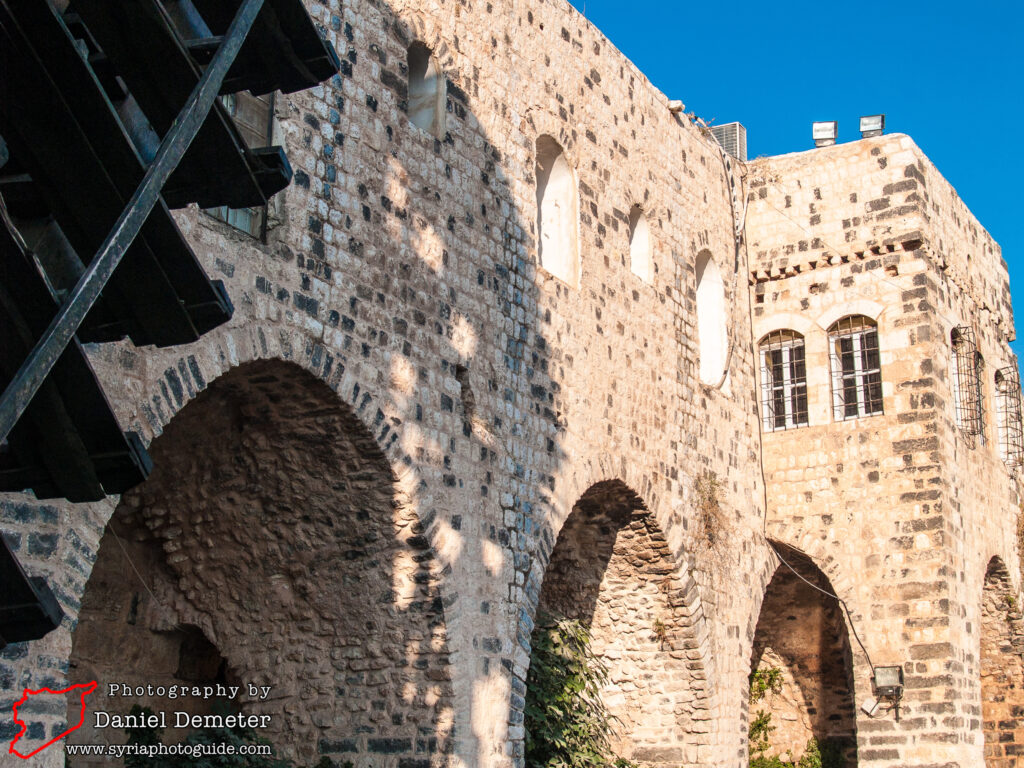
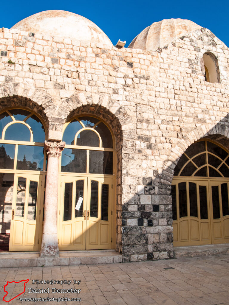
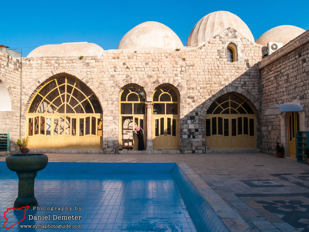
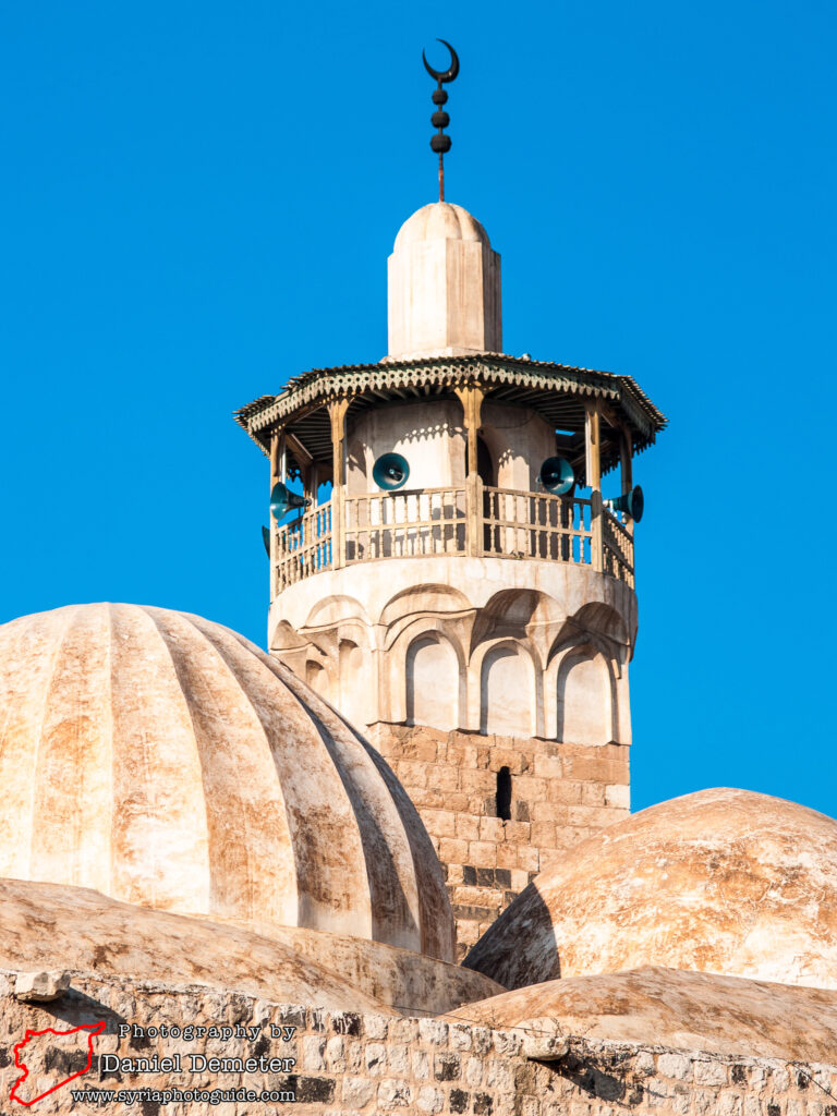
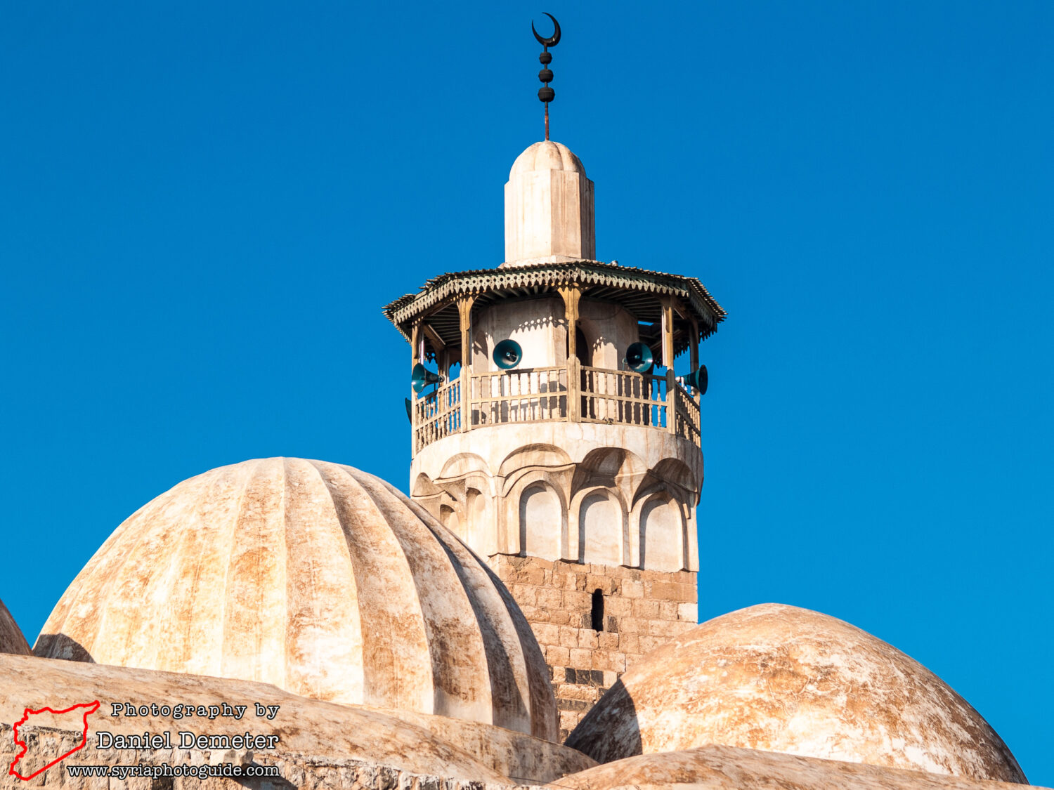
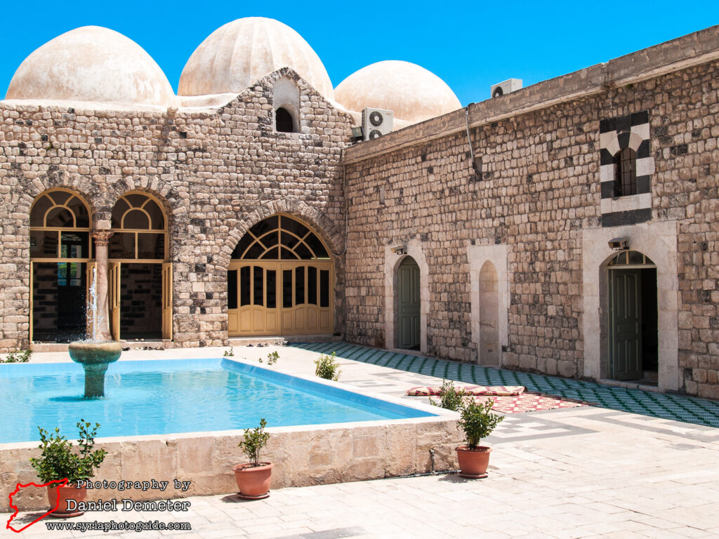
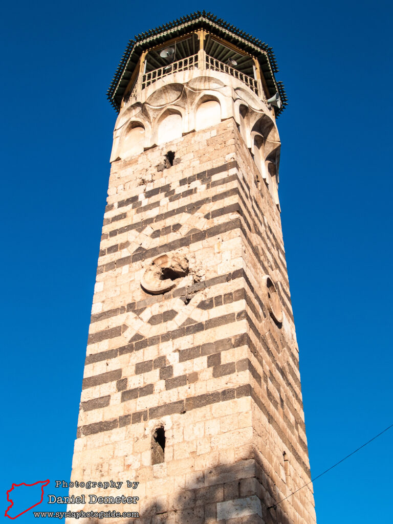
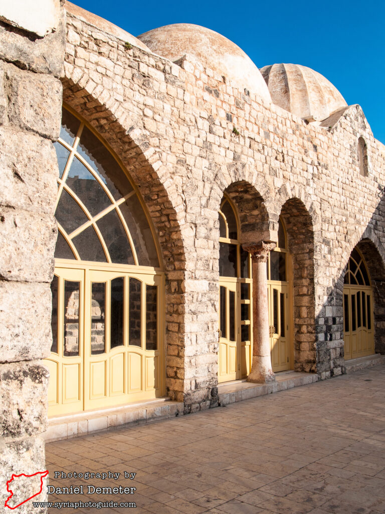
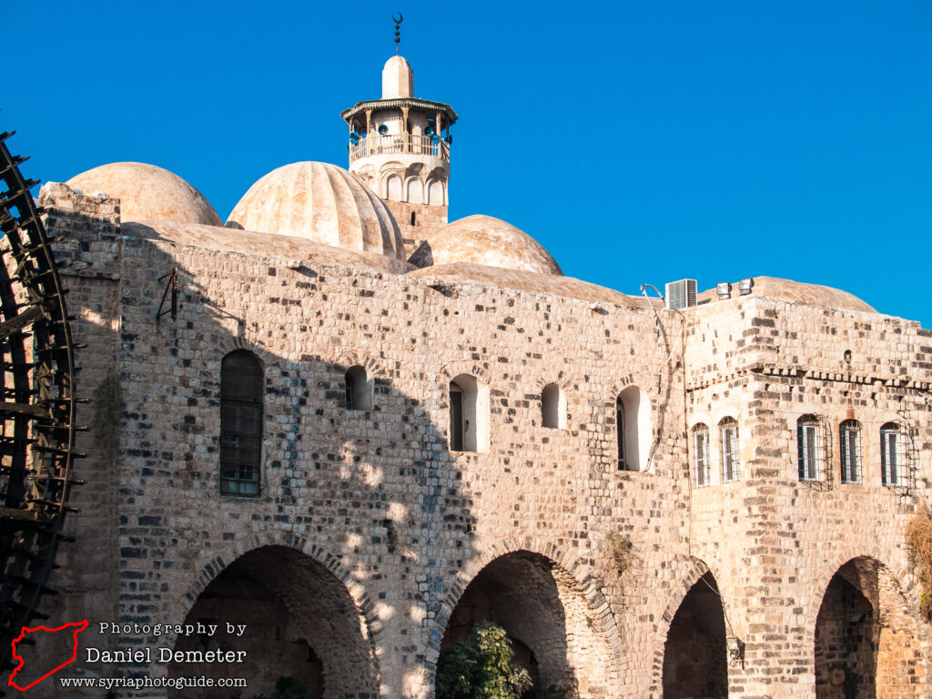
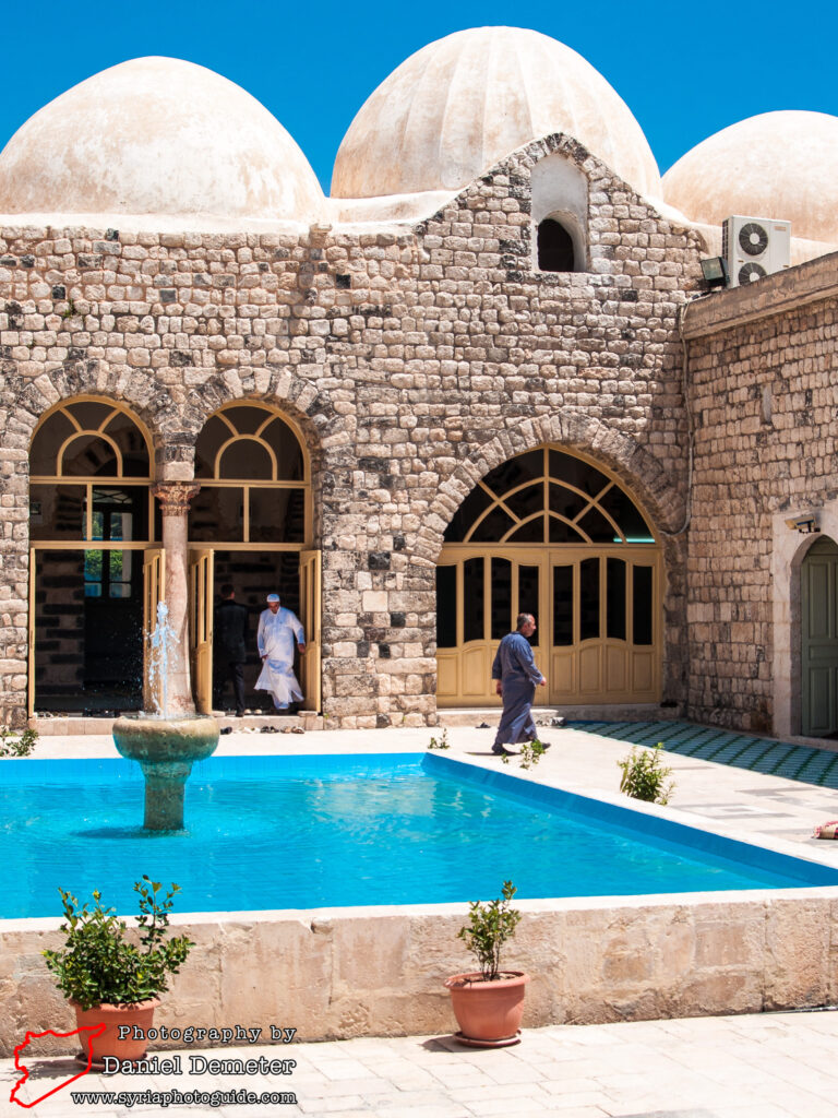
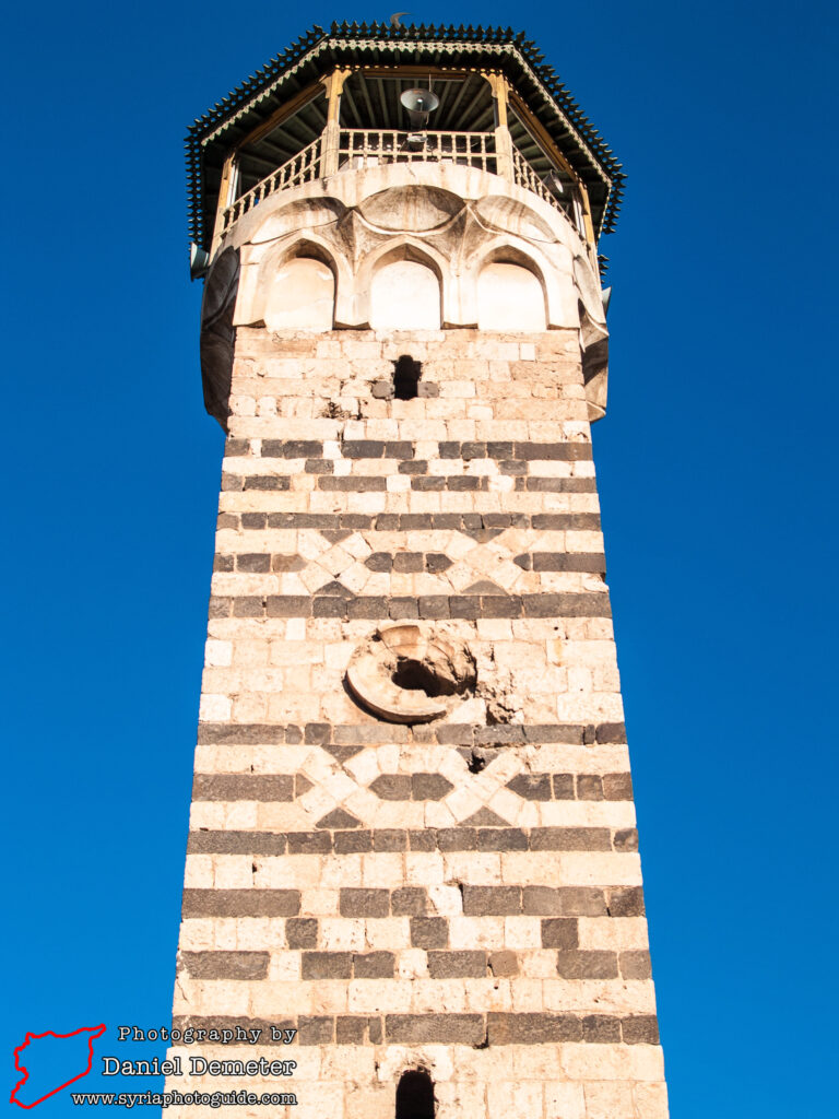
The striking minaret, in the northwest corner of the mosque, features alternating bands of black basalt and yellow limestone. Numerous Roman-era blocks have been reused in the lower levels of the exterior walls, possibly originating from the nearby citadel mound. The northern façade of the building features a surprisingly large Arabic inscription that is particularly remarkable. The modest entrance, next to the inscription, leads into an open courtyard with a large central fountain. The prayer hall is located on the southern side of the courtyard, with a later Mamluk expansion on the eastern side. The original carved wood minbar dated to 1164, but has been moved to the city’s museum. The mosque is open during regular prayer times.
Getting There: Hama (حماة) is one of Syria’s largest cities and has frequent bus connections with Damascus (دمشق) and Aleppo (حلب), with less frequent buses traveling between Hama (حماة) and Tartus (طرطوس), Lattakia (اللاذقية), al-Raqqa (الرقة) and Deir al-Zur (دير الزور). Microbuses travel between Hama (حماة) and Homs (حمص) every few minutes. al-Nuri Mosque (جامع النوري) is located in the old city, approximately two hundred meters north-northwest of Qasr al-Azem (قصر العظم). It is on the west side of the Orontes (العاصي) river, about one hundred meters east of the citadel mound.
Coordinates: 35°08’07.00″N / 36°45’09.00″E
Transliteration Variants: al-Nouri Mosque, al-Nury Mosque, al-Noury Mosque
Rating: 5 / 10
